
Compatibility
Minecraft: Java Edition
Platforms
Supported environments


Links
Tags
Creators
Details
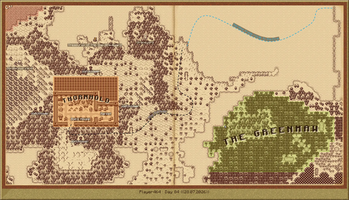
The whole map, saved out as an image
The full explored world exported to a PNG, framed and signed with the cartographer name and the day.
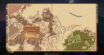
Territories, roads and inscriptions
Named territories written across the land, a road drawn through clicked points, and marks with their own icons.
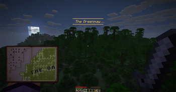
Place names announce themselves
Walking into a named territory announces it on screen, with the atlas held open in your hands.
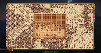
A town drawn by hand
Roads, houses, a market and a well, painted cell by cell over the real terrain.
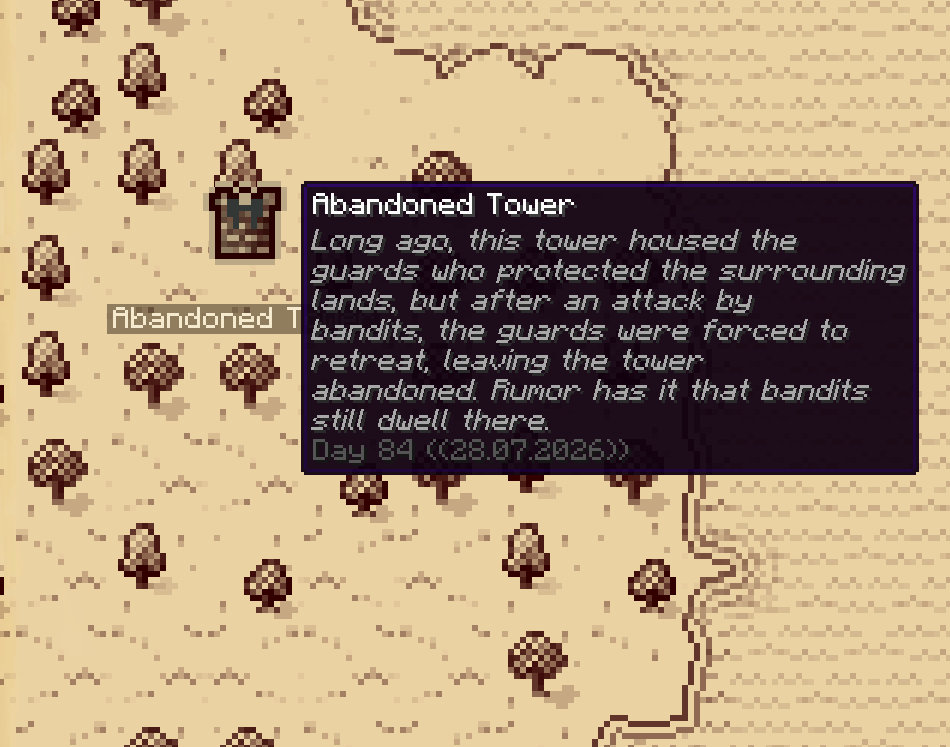
Marks that carry a story
A name, a note and the day it was drawn on.
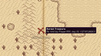
Hearsay from another player
A mark off someone else stays faint and captioned until you go and see it yourself.
See a scroll before you take it in
Whose hand it is and exactly what it holds, read without writing a word of it to your own map.
The book travels with you
One press puts it in your hands and you keep walking; a second opens the full page.
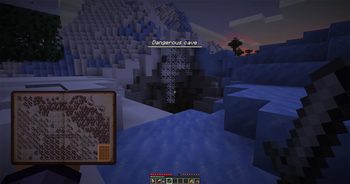
A mark you set announcing itself
Any named mark can call out as you come near, with the radius set per mark.
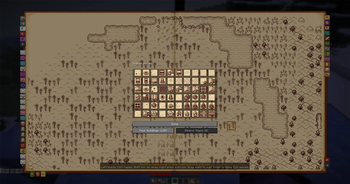
The box of town pieces
Roads, crossroads, wells, houses, farms and market stalls, the same set the villages are drawn with.
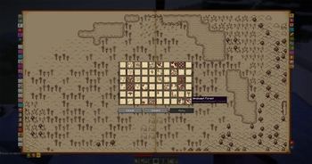
Correcting a biome the atlas guessed wrong
Every tile design the atlas has, to overrule a guess on a datapack biome.
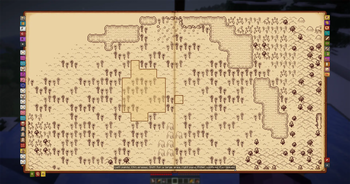
Painting a territory
Mark out the ground cell by cell; the controls are written at the foot of the page.
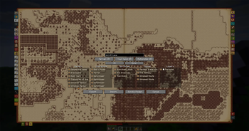
Choosing what goes on the scroll
Pick exactly which marks, roads and territories travel, and whether the terrain goes with them.